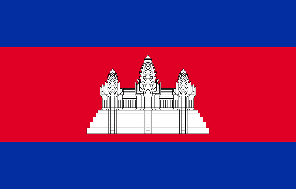
The journey to the kingdom of wonder
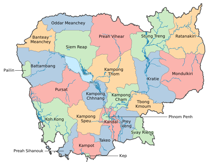
The map of Cambodia reveals a nation shaped by water, history, and quiet resilience. Situated in the heart of Southeast Asia, Cambodia stretches between Thailand to the west, Vietnam to the east, and Laos to the north, forming a landscape that is both geographically diverse and culturally rich. At the center of this map lies Phnom Penh, the capital city, positioned strategically at the meeting point of the Mekong and Tonlé Sap rivers—a location that has long influenced trade, settlement, and national development.
One of the most striking features of Cambodia’s geography is the Tonlé Sap Lake, the largest freshwater lake in Southeast Asia. Its seasonal expansion and contraction define the rhythm of life for millions, supporting fishing communities and agricultural cycles. Flowing through the country, the Mekong River acts as a lifeline, connecting provinces and sustaining ecosystems that are essential to both rural and urban populations.
The map also reflects a clear contrast between regions. In the northwest, provinces such as Battambang and Banteay Meanchey are known for fertile plains and rice production, forming the backbone of Cambodia’s agricultural economy. To the northeast, areas like Mondulkiri and Ratanakiri introduce a different terrain—hills, forests, and a lower population density—offering a glimpse into the country’s natural diversity and indigenous cultures. Meanwhile, the southern coastline, including provinces like Kampot, Kep, and Koh Kong, presents a more tranquil environment shaped by the sea, with growing importance in tourism and environmental conservation.
Each province on the map contributes to a larger narrative. Some regions drive economic growth through industry and trade, while others preserve traditions and natural landscapes that define Cambodia’s identity. Together, they form a balanced composition of past and future, where ancient heritage coexists with modern ambition.
Viewed as a whole, the map of Cambodia is more than a simple geographic representation. It is a living structure—one that tells a story of movement, adaptation, and connection. From rivers that sustain life to borders that shape interaction, the map captures the essence of a nation continuously evolving while remaining deeply rooted in its cultural foundation.